Map Maker 5
Free licences for Africa
Licences for Map Maker 5 are available for free to non-governmental, not-for-profit organisations and educational establishments in Africa. The offer applies to African organisations, not to international organisations working in Africa.
If you are interested, please copy the following text into an e-mail, and send the e-mail with the questions answered to support@mapmaker.com
Application form for Map Maker 5 for non-profit organisations in Africa
Licences for Map Maker 5 are available for free to non-governmental, not-for-profit organisations, educational establishments, and students in Africa. The offer applies to African organisations, not to international organisations working in Africa.
1. What is your name:
2. What is the name of your organisation, school, university course, etc.?
(Note that to qualify your organisation must be an African organisation, not an international organisation working in Africa)
3. Is the licence for you as an individual or as an organisation?
4. What is the nature of your project and how do you think Map Maker 5 will help you with it?
5. What is your postal address? The address must be in Africa.
Map projections
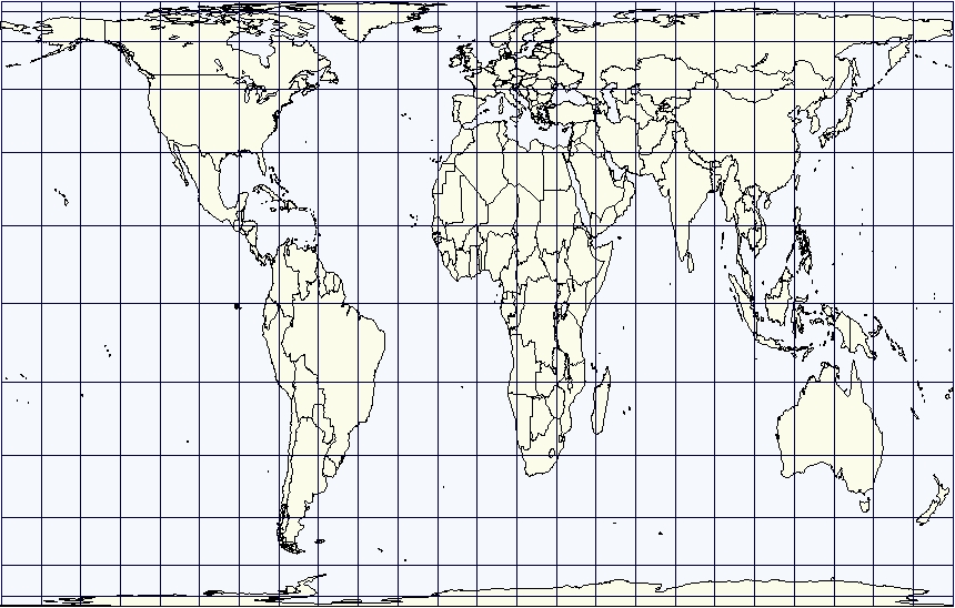
On September 4, 2026, the United Nations Assembly voted to adopt the "Correct the Map" resolution sponsored by Togo and backed by the African Union. Where possible the widely used Mercator projection, developed in 1569, will be replaced by world maps that more accurately reflect the relative sizes of map features.
Dudley equal area projection
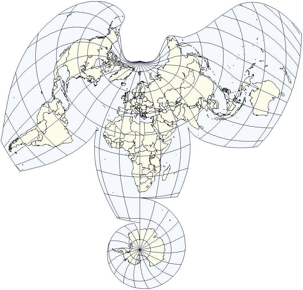
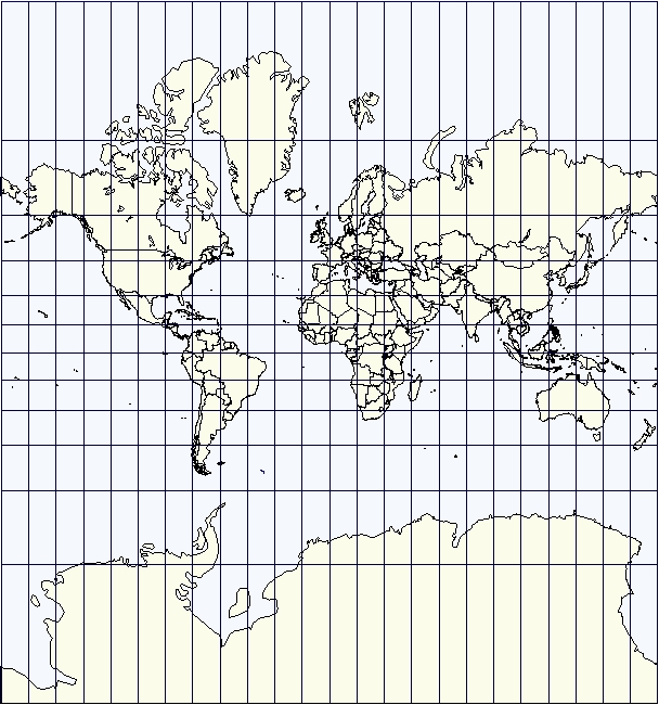
The Mercator projection stretches the countries nearer to the poles and compresses the area of Equatorial countries. This distortion has led to an unconscious bias arguably as powerful as the geocentric image of the solar system. Countries that appear to be small are assumed to be small and therefore unimportant. The Togolese Foreign Minister Robert Dussey said "A fair world begins with a fair map. … A map is never neutral." Kenyan geographer Kioko Muendo told the BBC, maps "shape how regions are perceived politically and economically."
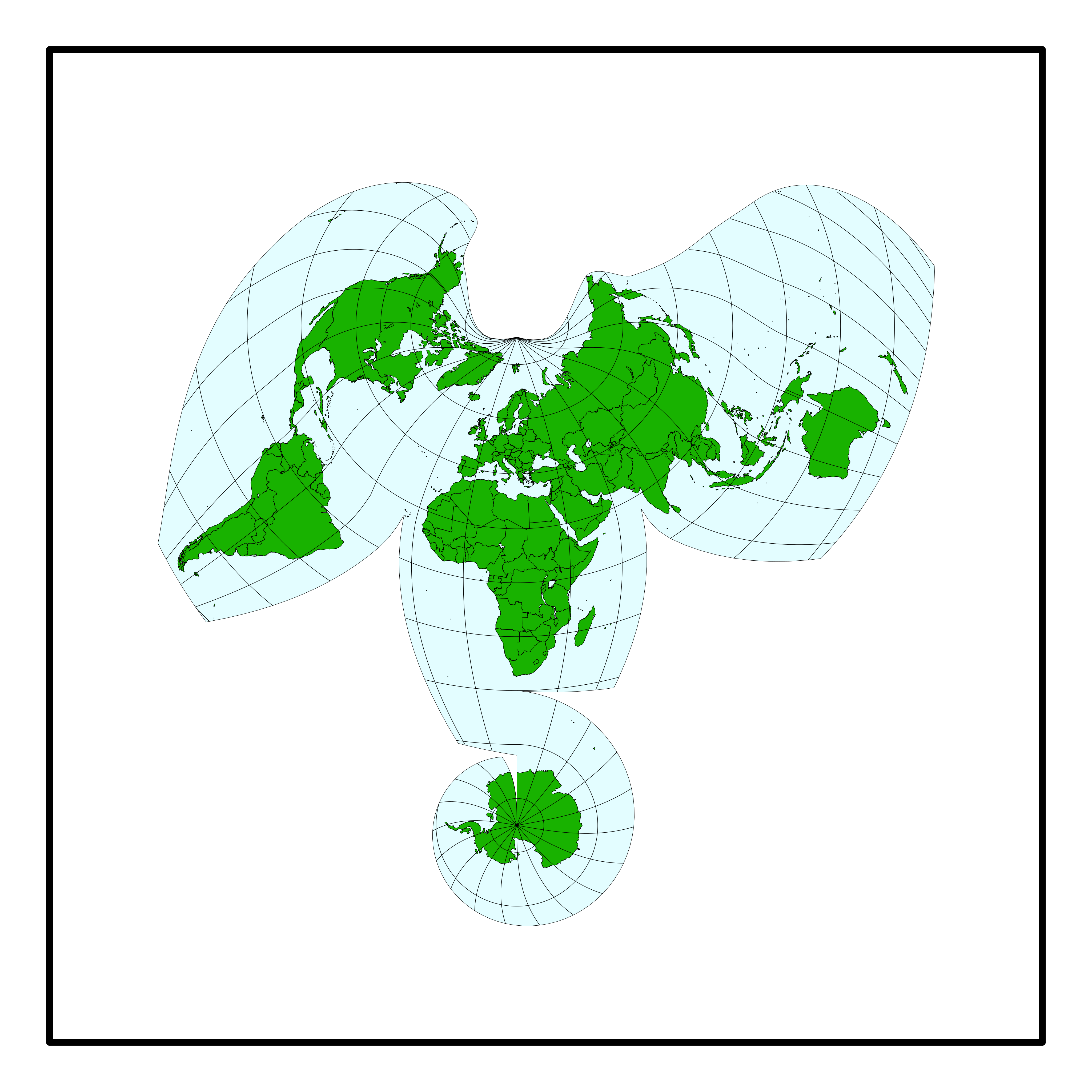
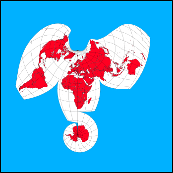
This Afro-centric Equal Area Map projection was developed in 1996 by Eric Dudley, the creator of our software packages. Apart from showing countries in their correct relative size, the complex underlying mathematical formula is such that it keeps the shape distortion of the mainland masses to a minimum. In addition, by splitting the Pacific on a diagonal, the Pacific Islands associated with the Americas are kept with the Americas while the West Pacific islands are kept together. In the "elephant head" equal area projection, the oceans take up the distortions created by the flattening of the globe.
Map Maker offers the "Dudley Equal Area Map" to be downloaded and used as an SVG here. The colours can be changed by the user.